
In May 2006, an NBC News article, titled "Young Americans shaky on geographic smarts," found in polling 510 young Americans that:
- While Israeli-Palestinian strife has been in the news for the entire lives of the respondents, 75 percent were unable to locate Israel on a map of the Middle East.
- One-third of respondents couldn't pinpoint Louisiana on a map and 48 percent were unable to locate Mississippi.
- While the outsourcing of jobs to India has been a major U.S. business story, 47 percent could not find the Indian subcontinent on a map of Asia.
As discussed in my current events blog, effectively teaching social studies requires that educators integrate the many disciplines within social studies into their units. One such discipline, which I integrated into my current events lesson by using nonfiction articles around the world and having students employ Google Earth in their presentations, is geography and based on the NBC poll discussed above, it might be in need of increased and more effective focus in our schools. In the NBC article (2006), National Geographic president John Fahey said: "Geographic illiteracy impacts our economic well-being, our relationships with other nations and the environment, and isolates us from the world." The National Council for the Social Studies seems to agree with Fahey's assertion of the critical importance of geographic knowledge given its own standards for student achievement. While I contend that all of the themes can and should integrate geography, because geography sheds light on all of the themes- production, governance, identity, culture, the emphasis on geography is most clearly visible in NCSS Theme #3 "People, Places, and Environments." Specifically, NCSS states that students will study geography to: "acquire a useful basis of knowledge for informed decision-making on [social, cultural, economic, and civic] issues arising from human-environmental relationships."
To truly study geography and develop the well-rounded knowledge base desired by NCSS, students must ask and answers questions relating to the five themes of geography.

Students determine the absolute location of a place by determining its exact location using longitude and latitude coordinates. Students approximate relative location by comparing locations to one another. Example: Chile's relative location is between Argentina and the Pacific.
Students explore a place by finding out what happens there both physically and with humans. Places can be characterized by their topography, vegetation, climate, population density, government, religion, language, etc.
Students can classify places into regions that share characteristics and determine within which regions an area belongs. Similarly, students can compare and contrast different regions.
Students learn the extent to which the world is interconnected. The movement of people, goods, and ideas cause global relationships; particular issues can have international effects.
In order to engage students in geography, an online collaboration of geography educators has designed "103 creatively simple ways to teach geography." Of these 103 ways, I have selected ten that I would like to utilize in my future classroom.


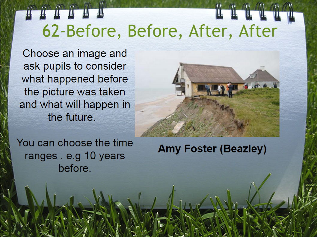
8. Images are powerful tools to have students make connections with a place. As I learned in teaching my causes of the American Revolution unit, in which students were eager to share their thoughts on pictures in the introduction, students are adept at recognizing details in a image and making inferences from them. Asking students to analyze pictures or make predictions of what will come next from a picture incorporates higher-order thinking skills.


1. My favorite way to integrate geography is by posing social studies questions for students to explore, as this most meaningfully speaks to the purpose of social studies and importance of geography as a discipline.
If the goal of social studies it to develop students' abilities to make "informed and reasoned decisions," then students must practice applying all of the knowledge they gain about geography to situations (NCSS, 1994, p. 3). Practicing reasoning with complex information and highlighting the connections between different powers at play, will prepare students to be thoughtful global citizens. However, beyond just providing scenarios, teachers can incorporate current events or evaluate events in history by posing inquiry-based questions for students to explore. For example: Why throughout history has France easily been taken over by invading armies while Great Britain has not? Students can then respond to the question by considering the physical characteristics of both places as well as the location. Where is acid rain most prevalent in the United States and why? Students then have to collect data on accumulation of acid rain in different regions of the country, determine how acid rain is produced, locate where the highest concentration of factories are in the United States, and study maps of wind patterns.
Overall, geography is a discipline in which students must be able to collect knowledge and then apply it to the larger issues that are happening in the world. One cannot understand the Israeli-Palestinian crisis in the Middle East, the reason Napoleon failed in Russia, or the causes behind the breakup of Yugoslavia without knowledge of geography and its themes. Thus, application of geographical knowledge is a critical skill students must form in order to become the global citizens that the world needs.
References
Associated Press. (2006, May 2). Young Americans shaky on geographic smarts. NBC News. Retrieved on April 12, 2015, from: http://www.nbcnews.com/id/12591413/ns/us_news-education/t/young-americans-shaky-geographic-smarts/#.VSx1SvnF__E
Google. (2012, March 30). What can you do with geography? Retrieved April 14, 2015, from https://www.youtube.com/watch?v=6Mj8MTWZX4M
National Council for the Social Studies. (1994). “What Is Social Studies?” Expectations of Excellence: Curriculum Standards for Social Studies.
National Council for the Social Studies. (n.d.). National curriculum standards for social studies. Retrieved April 3, 2015, from http://www.socialstudies.org/standards/strands
No comments:
Post a Comment